Greenwich Historical Society

  • Home
  • Blog
  • Programme
  • Journal
  • Join Us
  • About Us
  • Links
  • Contact Us

Plague in the Hundred of Blackheath. By Frances Ward MA

17th April 2020 By Julian Watson Leave a Comment

During the current Covid 19 pandemic we look back to the terrible plague pandemics of the seventeenth century. From 1603 to 1665 the Plague wreaked terrible destruction.

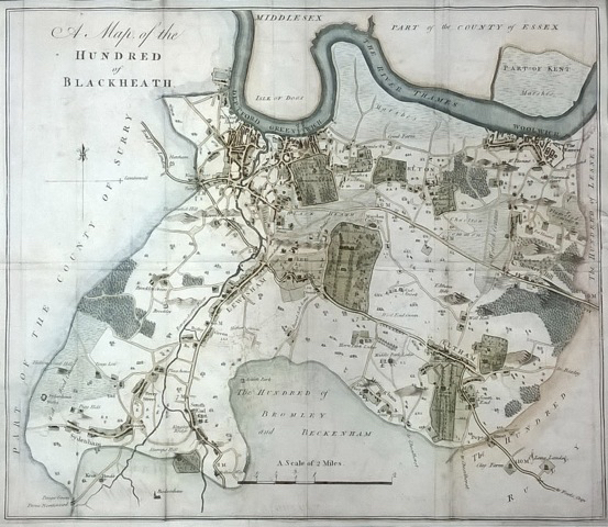
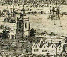
The riverside towns of Greenwich, Deptford and Woolwich, all significant landing places on the Thames – London’s main highway – were very badly affected, as were the other communities in the Hundred of Blackheath.

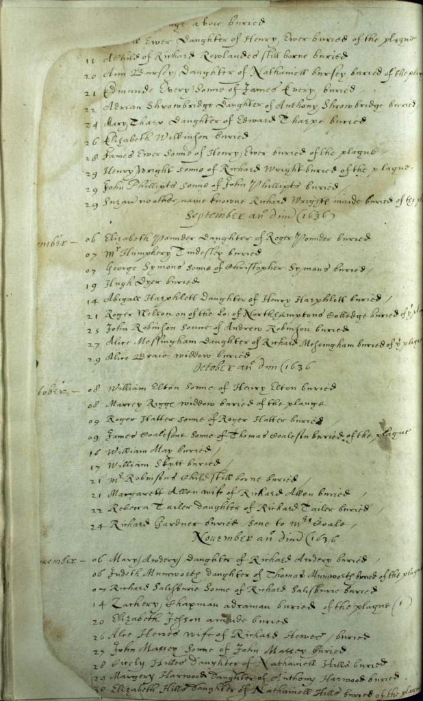
Frances Ward’s excellent 1982 account of the four outbreaks in our district was researched from parish registers and account books plus many other contemporary sources.

This is the first in a programme of digitally re-publishing significant articles in our journals and transactions from the foundation of our society in 1905.

Edward Hasted’s map of the Hundred of Blackheath, 1778. Hundreds were Anglo Saxon administrative districts which survived into the 19th century. The Hundred Court would have met on Blackheath. Courtesy of Warwick Leadlay Gallery.
A view of Greenwich from the park in 1637 by Wenceslaus Hollar. The Queens House and Greenwich Palace divide the town. St Alfege’s Church and West Greenwich are on the left and East Greenwich is on the right. Museum Collections and Archive, Royal Greenwich Heritage Trust.
St Alfege’s Church in 1676. A detail from Francis Place’s etching of Greenwich from the Royal Observatory. Museum Collections and Archive, Royal Greenwich Heritage Trust
St Alfege’s burial register August-November 1636 listing plague burials including Marcey Rigge and James Coalesone. Register at the London Metropolitan Archives and available online at Ancestry.co.uk
Detail from an 1810 copy of Samuel Travers’s 1695 map of the Royal Manor of Greenwich. The Pest House was built on Maidenstone Hill. In 1765 the Pest House and grounds were used to build a new parish workhouse with an entrance in what is now Blissett Street. North is at the bottom of the map. The Hospital is Queen Elizabeth Almshouses in Greenwich High Road. The Bowling Green (top left) is the old Green Man public house at the top of Blackheath Hill, beside what is now the A2.
The burial register of St Alfege’s Church October 1665-February 1666. Two columns per page are used to list the great number of burials. January and February are marked 1665 in old style dating – the new year started in April. The registers are at the London Metropolitan Archives and available online via Ancestry.co.uk.

Filed Under: Blog Tagged With: Past Articles

All content on this page is © 2017 Greenwich Historical Society. Registered charity #287541